About This Route
The Saaristotie (Archipelago Trail) from Turku through Naantali, Pargas, and ferry-linked islands to the outer skerries. Red granite shores, island villages, Baltic light. WARNING: Route requires 2–3 ferries — check timetables; queues common in July weekends.
Detailed Route Guide
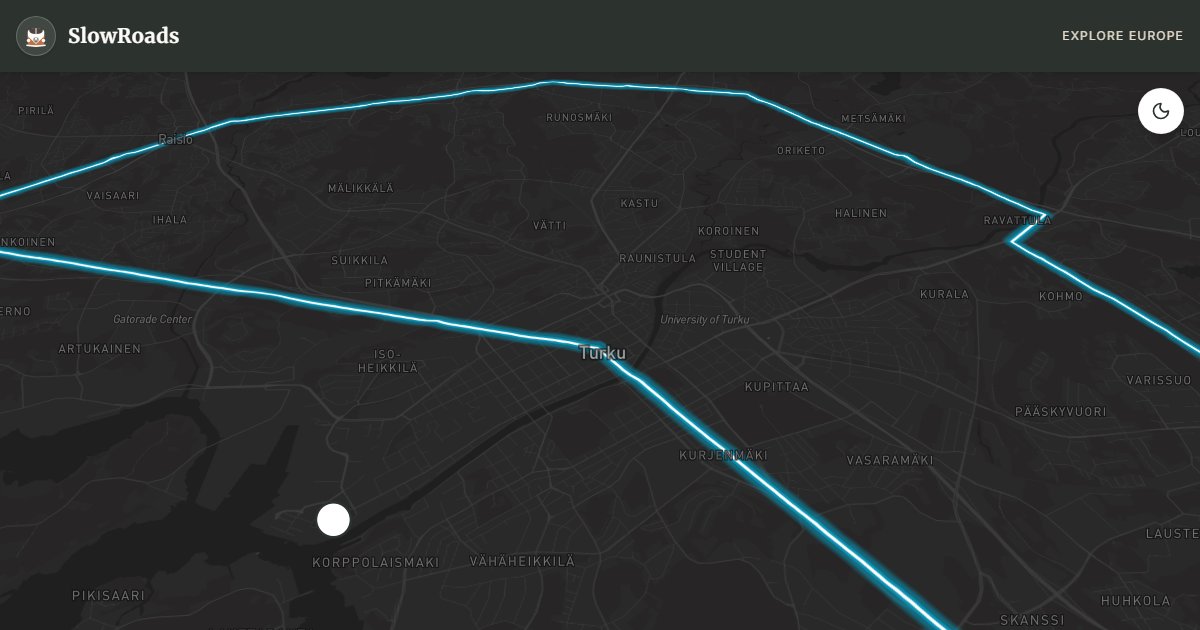
The Turku Archipelago — Saaristomeri in Finnish — is the largest archipelago in the world by island count, a shattered granite landscape of twenty thousand skerries, islets, and forested islands stretching from Turku southwest into the Baltic. The Archipelago Trail (Saaristotie, Route 180/1800) is Finland's quintessential slow-road experience: a loop of roughly 250 kilometres that combines mainland driving, short ferry crossings, and island roads where speed limits drop to 40 km/h and every bend reveals another red-granite shore, another saunasmoke curl from a summer cottage chimney.
Start in Turku, Finland's oldest city and former capital, where the medieval castle guards the Aura river and the riverfront market hall sells archipelago bread and smoked fish. Naantali, twelve kilometres north, is the fairy-tale old town of wooden houses painted in pastels around a 15th-century convent church — and the home of Moominworld, which transforms the village in summer but does not define its quieter harbour lanes. From Pargas, the trail enters the island world: ferries link the mainland to Nagu, Korpo, and Houtskär, carrying cars on short crossings of ten to thirty minutes. Finferries operate many routes free of charge; private operators charge modest fees. Check timetables at finferries.fi — July weekends see queues of camper vans that require patience or off-peak timing.
Island driving is T3 paradise: flat, paved, speed-limited, and scenically overwhelming. Nagu's medieval church marks the archipelago's social centre; Korpo pushes toward the outer skerries where Baltic swells meet low granite. Kasnäs at the southern tip of Kemiönsaari offers open-sea views and connections toward Hanko peninsula. The return leg via Kemiö or the northern ferry chain completes the loop back to Turku. Camping exists on most larger islands — Nagu, Korpo, and Prostvik have municipal sites accustomed to German and Dutch camper vans.
For vintage van travellers, the archipelago demands planning rather than mechanical prowess. Ferries run on schedules, not demand — missing the last crossing means an unplanned overnight on an island (often pleasant, occasionally inconvenient). Vehicle length limits apply on some smaller ferries but a standard T3 is never an issue. June through August is the season; May and September offer emptier roads and moody light. Allow two to three days minimum — one day is possible if you treat ferries as transport rather than destination, but that violates every SlowRoads principle. Bring insect repellent, a swimming towel, and time.
Frequently Asked Questions
Points of Interest
Turku Castle
Castle
Medieval fortress at the mouth of the Aura river — Finland's oldest city and former capital.
Naantali Old Town
Town
Colourful wooden houses around a 15th-century convent church — gateway to Moominworld.
Nagu Village Church
Monument
A medieval stone church on the main Archipelago Trail ferry route — hub for island hopping.
Korpo Island Centre
Town
Outer archipelago community with harbour, shop, and access to remote skerry roads.
Kasnäs Harbour
Nature
Southern tip of Kemiönsaari — open Baltic views and ferry connections toward Hanko.
Pargas Marble Quarry
Monument
Historic open-pit quarry that built Helsinki’s white facades — industrial heritage beside the trail.
Route Highlights
Nearby Scenic Drives
Route Information
* Waze only navigates to the starting point. Use Google Maps for the full scenic route.
Ask Copilot (AI Travel Guide)
Hello! I am your SlowRoads Copilot. I know the Turku Archipelago Coastal Trail intimately. Ask me about scenic viewpoints, local history, hidden culinary gems, or the best camper spots along the way!