About This Route
Joensuu to Koli's iconic fell views and back through North Karelia forest. Ukko-Koli panorama over Lake Pielinen, Kolovesi boat routes. WARNING: Final ascent to Koli village is steep (8–10% grades) — take it slowly in a loaded T3.
Detailed Route Guide
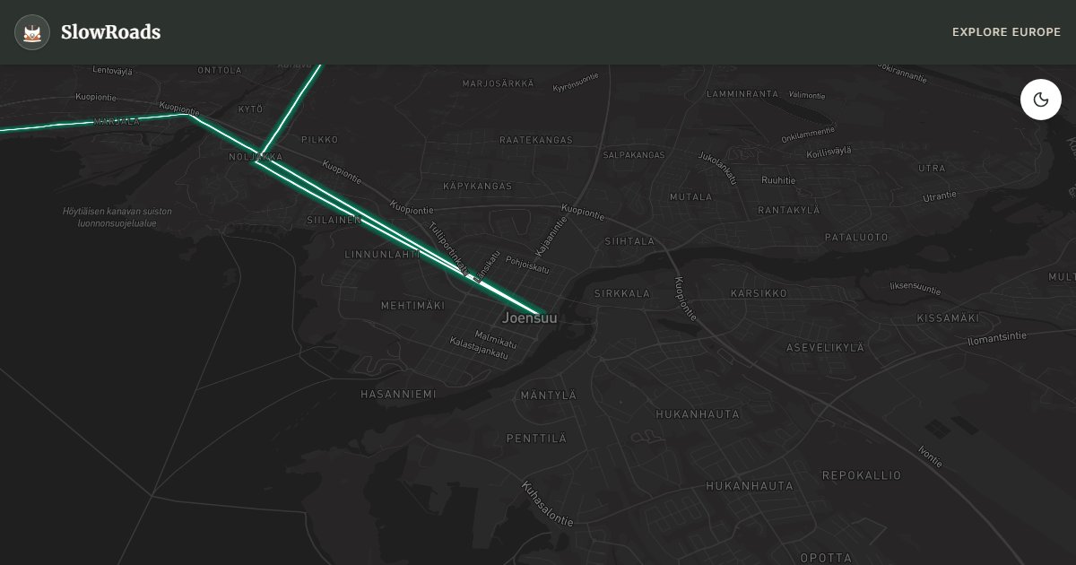
Koli is Finland's postcard — a wall of ancient bedrock rising 253 metres above Lake Pielinen, painted by artists since the 19th century and protected as a national park since 1991. This loop from Joensuu, the capital of North Karelia, climbs to the Ukko-Koli viewpoint and returns through forest roads and the lake country around Kolovesi, covering roughly 185 kilometres in one to two days. It is one of eastern Finland's most rewarding drives for slow travellers willing to climb a steep final hill.
The approach from Joensuu follows Route 6 north along Lake Pyhäselkä before turning onto Route 504 toward Koli village. The last four kilometres ascend sharply through hairpin bends — grades of 8 to 10 percent that will strain an air-cooled VW T3 if you rush them. Use second gear, keep momentum steady, and pull over at lay-bys to cool the engine if needed. The reward at the top is immediate: from Ukko-Koli, the view drops sheer to Pielinen, Finland's fourth-largest lake, with forested islands and the distant blue of Russian Karelia on the horizon. Finnish artists Eero Järnefelt and Pekka Halonen established a colony here; their landscapes defined the national romantic image of wilderness.
The Koli Nature Centre Ukko provides trail maps for short hikes — Mäkrävaara and Havukka are accessible loops of one to three hours. Descending via Route 504 south, optional detours reach Kolovesi National Park, a water labyrinth of cliffs and old-growth pine reachable by canoe or guided boat from Käkövesi or Heinävesi. Lieksa, northeast of Koli, is a quiet timber town with a wooden church and access to even remoter wilderness toward the Russian border.
For vintage van drivers, Koli is the one eastern Finland route where mechanical caution matters — not because of road surface (all paved on the main loop) but because of the sustained climb with a loaded camper. Descend in low gear to spare brakes. Camping exists at Koli village (book ahead in July-August) and at Joensuu municipal sites. Mosquitoes are fierce in June; August and September offer crisp air and autumn colour on the birch slopes. The loop completes back in Joensuu, a university city with good supermarkets and a waterfront sauna culture. Allow a full day minimum; two days if you add Kolovesi by boat or hike multiple Koli trails.
Frequently Asked Questions
Points of Interest
Ukko-Koli Viewpoint
Nature
Finland's most famous panorama — sheer cliffs above Lake Pielinen stretching to the eastern horizon.
Koli Nature Centre Ukko
Monument
Visitor centre with exhibitions on Koli's geology, art history, and hiking trail maps.
Kolovesi National Park
Nature
Lake labyrinth of cliffs and old-growth forest — canoe and boat access, ancient rock paintings.
Lieksa Wooden Church
Monument
A quiet Karelian town with a distinctive wooden church and gateway to wilderness eastward.
Niinisaari Beach
Nature
Sandy shore on Lake Pyhäselkä near Joensuu — a gentle start before the climb to Koli.
Myllykoski Mill Rapids
Nature
Restored watermill and rapids on the return leg — picnic spot under riverside birches.
Route Highlights
Route Information
* Waze only navigates to the starting point. Use Google Maps for the full scenic route.
Ask Copilot (AI Travel Guide)
Hello! I am your SlowRoads Copilot. I know the Koli National Park Eastern Loop intimately. Ask me about scenic viewpoints, local history, hidden culinary gems, or the best camper spots along the way!