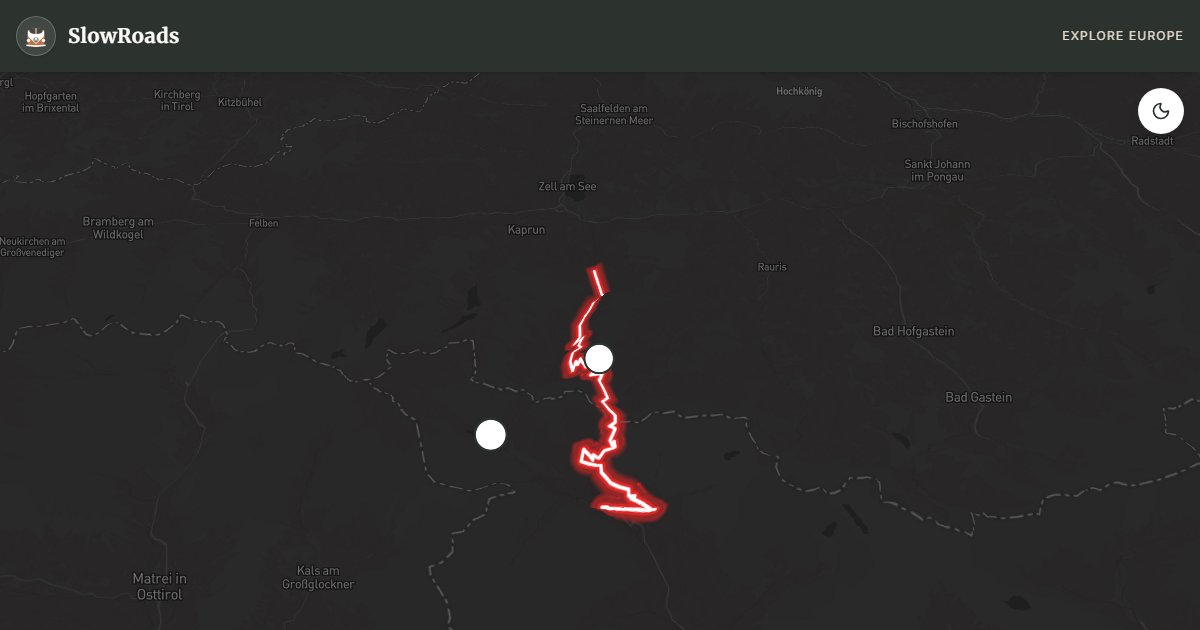
Grossglockner High Alpine Road
About This Route
Austria's highest toll pass: 36 km from Fusch to Heiligenblut, 36 hairpins to 2,504 m beside the Pasterze glacier and Grossglockner peak. Relentless 12%+ grades test coolant and brakes in classic and low-power campervans — engine-brake the descent, use lay-bys to cool, and start early. Day toll at the gate; typically open early May–early November (check grossglockner.at). Shoulder seasons beat midsummer queues at Kaiser-Franz-Josefs-Höhe. Fuel in Fusch, Bruck, or Heiligenblut before you climb — no casual pumps on the high road.
Detailed Route Guide
The Grossglockner High Alpine Road is Austria's most celebrated mountain pass and one of the great engineering achievements of the 20th century. Built between 1930 and 1935 — partly for Depression-era employment, partly to showcase Alpine Austria — the 36-kilometre toll road links Fusch an der Großglocknerstraße with Heiligenblut, climbs to 2,504 metres, and runs within sight of the Grossglockner (3,798 m), the country's highest peak. Every numbered hairpin on the northern ramp is a reminder that this is infrastructure built for spectacle as much as for transit.
Highlights come thick and fast. The Edelweißspitze spur reaches 2,571 metres — the highest point you can drive — with a 360-degree view of dozens of three-thousanders on clear days. Kaiser-Franz-Josefs-Höhe puts you almost eye-level with the Pasterze, the longest glacier in the Eastern Alps, where the ice river's retreat is as striking as its scale. Visitor centres, short walks, and well-signed lay-bys make it easy to stop without blocking the road. The 36 hairpins of the north ramp are a spectacle even before you start the engine.
For classic and low-power campervans — including older air-cooled vans such as a VW T3 — the Grossglockner is a serious climb. Gradients regularly exceed 12 percent; expect long stretches in first or second gear and constant attention to the temperature gauge. Pull into designated bays if the needle climbs, run the cabin heater to shed heat, and idle down before switching off a very hot engine. On the descent, engine-brake generously and let pads cool at the signed stops. Carry water for you and the coolant reservoir, and allow half a day so viewpoints are rests, not rushes.
The road typically opens early May to early November; exact dates depend on snow — always check grossglockner.at. Late May–June and September–early October combine clearer views with lighter traffic than July–August, when queues form at glacier parking. Arrive at the toll gate at opening for empty upper sections and low-angle light. The day toll funds excellent maintenance; campervans pay more than cars. Fuel in Heiligenblut, Bruck, or Fusch before you climb — there is no casual filling station on the high road.
Wild camping is forbidden on the pass and heavily fined nationwide. Use official campgrounds in Heiligenblut, Bruck, or Fusch; Heiligenblut wakes you to Grossglockner views from the valley floor. This is a one-day highlight best paired with a quiet valley night before or after — not a place to hurry a loaded older camper through at midday in August.
Frequently Asked Questions
Points of Interest
Edelweißspitze (Highest Point)
Nature
Kaiser-Franz-Josefs-Höhe
Nature
Route Highlights
Route Information
Navigation
* Supported by HERE Technologies, headquartered in Amsterdam, Europe. Precise routing through all waypoints.
* Waze only navigates to the starting point. Use Google Maps for the full scenic route.
Offline GPS Navigation
Download the GPX route file to navigate offline using your favorite GPS device or app (Garmin, TomTom, OsmAnd, Gaia GPS).