About This Route
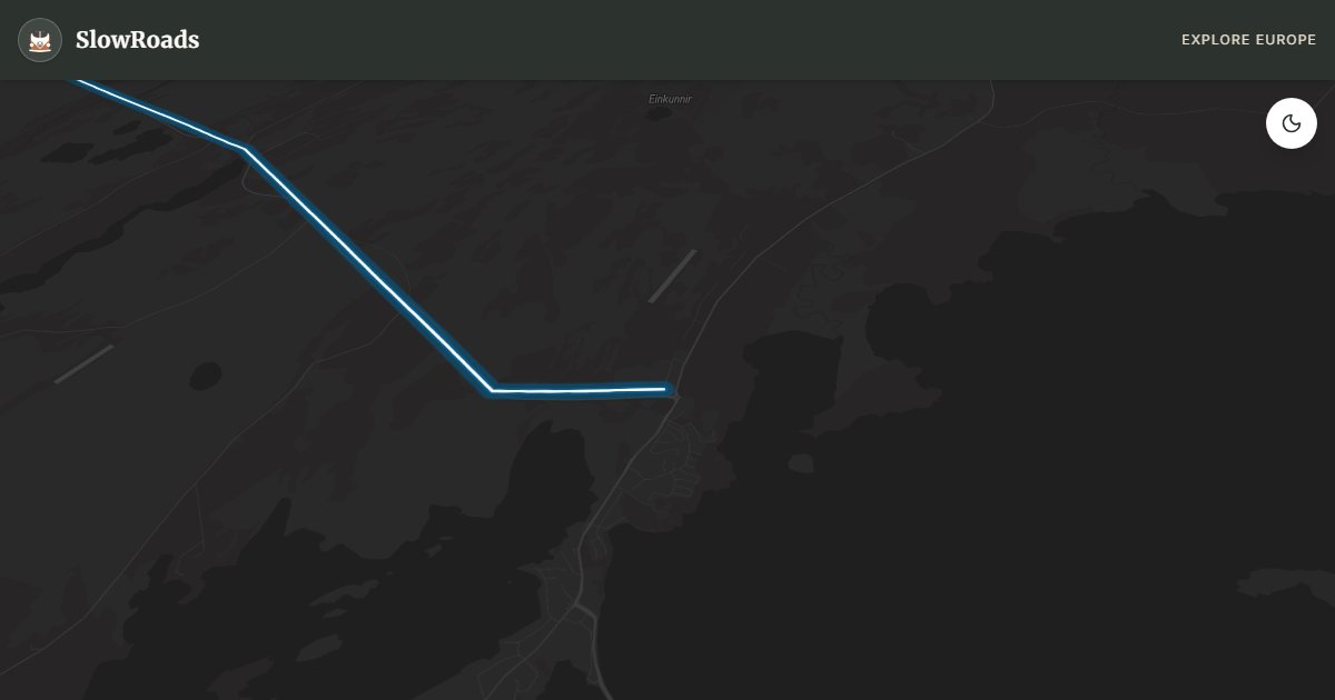
Iceland in miniature — glacier, lava fields, fishing villages, and Kirkjufell mountain on a single peninsula west of Reykjavik. Route 54/574 loop. WARNING: Snæfellsjökull glacier road (F570) is an F-road closed to standard vans; stick to the coastal loop.
Detailed Route Guide
Snæfellsnes peninsula is often called "Iceland in miniature" — and the nickname is earned. This 320-kilometre loop west of Borgarnes packs a glacier-topped volcano, black lava beaches, fishing villages, bird cliffs, and Kirkjufell — arguably the most photographed mountain in the country — into a two-day drive that never requires leaving paved roads if you stick to Routes 54 and 574.
The peninsula's spiritual anchor is Snæfellsjökull, the glacier-capped volcano that Jules Verne used as the entrance to the centre of the earth. The glacier road (F570) crosses the ice cap and is closed to standard vehicles — admire the peak from the coastal loop instead. Arnarstapi and Hellnar offer cliff walks through basalt formations where kittiwakes and fulmars nest; the Gatklettur arch is the signature photograph. Djúpalónssandur black pebble beach holds the rusted remains of a British trawler wrecked in 1948 — a melancholy counterpoint to the raw beauty.
Kirkjufell and Kirkjufellsfoss, on the peninsula's north coast near Grundarfjörður, are the Instagram centrepiece — an arrowhead mountain reflected in a small waterfall, best at sunrise or under northern lights in winter. Stykkishólmur, the largest town, has a colourful harbour, excellent fish restaurants, and ferries to the Westfjords.
For VW T3 drivers, Snæfellsnes is ideal slow-road territory: paved throughout on the main loop, no extreme gradients, and distances that encourage stopping. Wind on the exposed north coast can be strong. Camping at Arnarstapi, Hellissandur, or Stykkishólmur is easy to arrange. May through September is best; winter offers aurora possibilities but shorter days and icy road sections. Allow two full days — rushing Kirkjufell at noon with fifty other vans misses the entire SlowRoads philosophy.
Frequently Asked Questions
Points of Interest
Kirkjufell Mountain
Nature
Iceland's most photographed mountain — a arrowhead peak beside Kirkjufellsfoss waterfall.
Arnarstapi Coastal Cliffs
Nature
Basalt arches and seabird colonies on a dramatic cliff walk.
Djúpalónssandur Black Beach
Nature
Black pebble beach with rusted shipwreck remains at the glacier's foot.
Stykkishólmur
Town
Colourful harbour town and gateway to the Westfjords ferry.
Route Highlights
Route Information
* Waze only navigates to the starting point. Use Google Maps for the full scenic route.
Ask Copilot (AI Travel Guide)
Hello! I am your SlowRoads Copilot. I know the Snæfellsnes Peninsula Loop intimately. Ask me about scenic viewpoints, local history, hidden culinary gems, or the best camper spots along the way!