About This Route
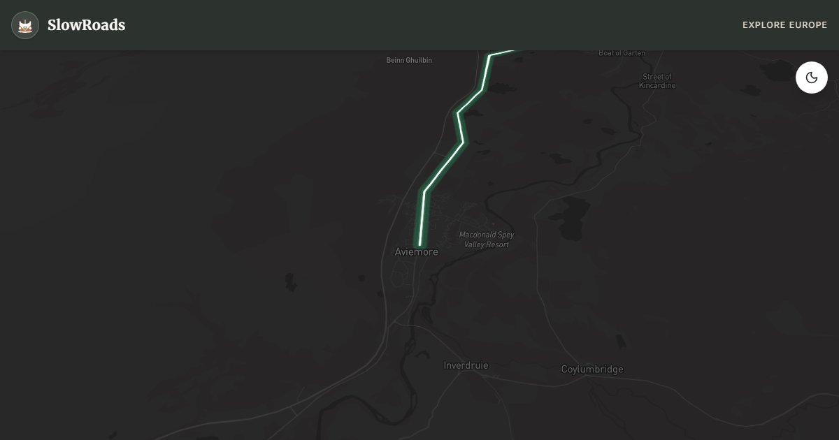
Aviemore Cairngorms loop: Rothiemurchus pines, Tomintoul and steep Lecht/Cairnwell passes for careful low-power and classic campervans. Use lower gears, engine braking on descents, and turn back in whiteout. Overnight at Glenmore or Rothiemurchus — not Cairngorm summit car parks. Two days for forest walks, funicular (when running) and Speyside whisky detours without drinking and driving. Check snow gates in winter; fill up before Tomintoul. October birch colour and red-deer rut are highlights for slow travellers. Pack layers — plateau temperatures drop sharply even in July.
Detailed Route Guide
The Cairngorms Loop is a hundred-and-twenty-kilometre circuit from Aviemore through Britain's largest national park — a landscape of sub-arctic plateau, ancient Caledonian pinewood, and whisky-soaked Speyside valleys. Passes such as the Lecht and Cairnwell climb above six hundred metres with gradients that demand respect from underpowered vans; this route earns its steep rating for good reason. Two days is the minimum to drive it patiently, walk a forest trail, and pause at a distillery without treating the Cairngorms as a checklist. A well-maintained low-power campervan with sound brakes and a watched temperature gauge handles the loop when driven in lower gears and never in whiteout or ice.
Base yourself in Aviemore for fuel, groceries, and the Cairngorm Mountain road — Scotland's highest public route to a ski area, often gated in winter. The loop typically runs north through Rothiemurchus estate pinewoods, over moorland toward Tomintoul — at 345 metres, the highest village in the Highlands — and back via Deeside or Speyside depending on your appetite for single-track drama. Heather, red deer, and the smell of resin define the drive as much as any summit view. Fill up before Tomintoul; services thin quickly on the plateau roads.
Rothiemurchus Forest preserves one of Europe's last substantial fragments of Caledonian pine — gnarled Scots pine, crossbills, and capercaillie habitat. Short waymarked walks from the estate car park reward an hour off the wheel. Cairngorm Mountain's funicular (when operating) lifts you toward the plateau without taxing your van's cooling system on the ascent. Tomintoul's square and whisky shops offer a civilised break before the long moor crossing. Speyside distilleries near Grantown, Aberlour, and Dufftown sit a short detour off the loop — book tours in advance in summer and never drive after tasting; many visitor car parks accommodate campervans if you ask.
Camp at Aviemore Glenmore or Rothiemurchus caravan park; confirm any Tomintoul overnight parking on local signage — not on Cairngorm Mountain summit car parks, which close overnight. October paints Rothiemurchus birch gold and coincides with red-deer rut; February may bring snow gates on the mountain road — check daily. Avoid exposed Tomintoul moorland in dense fog or high wind; turn back rather than push a low-power van through whiteout. Late spring and early autumn offer the most reliable light; summer days are long but parking at popular trailheads fills by mid-morning. Pack layers — plateau temperatures drop sharply even in July. Treat engine braking seriously on descents — riding brakes on a loaded camper is how fade begins, especially after rain on the Lecht descent.
The Cairngorms feel alpine rather than coastal: thin air on the plateau, sudden temperature drops, and roads that ice earlier than Speyside valleys. Low-power campervans thrive when you accept second gear as normal and refuse to chase hire cars on the Lecht. Red deer, crossbills and Caledonian pine are the wildlife story; whisky is the cultural one — keep tasting and driving separate. Winter beauty is real, but snow gates and whiteout are not optional reading. Build the loop around Aviemore supplies, forest time, and one high pass done carefully rather than every summit road on the map.
Frequently Asked Questions
Points of Interest
Cairngorm Mountain
Nature
Funicular access to sub-arctic plateau (when running)
Rothiemurchus Forest
Nature
Ancient Caledonian Scots pinewood near Aviemore
Tomintoul
Town
Highest Highland village (345 m) before the Lecht
Route Highlights
Route Information
Navigation
* Supported by HERE Technologies, headquartered in Amsterdam, Europe. Precise routing through all waypoints.
* Waze only navigates to the starting point. Use Google Maps for the full scenic route.
Offline GPS Navigation
Download the GPX route file to navigate offline using your favorite GPS device or app (Garmin, TomTom, OsmAnd, Gaia GPS).
Ask Copilot (AI Travel Guide)
Hello! I am your SlowRoads Copilot. I know the Cairngorms Loop intimately. Ask me about scenic viewpoints, local history, hidden culinary gems, or the best camper spots along the way!