About This Route
The classic Streymoy–Eysturoy–Vágar circuit from Tórshavn via subsea tunnels and mountain passes. VAN NOTE: Single-lane tunnels with passing bays require patience; tolls at Vágatunnilin. WARNING: Atlantic wind gusts exceed 30 m/s on exposed ridges; ferry and mountain roads close in storm warnings.
Detailed Route Guide
The Faroe Islands main loop is the archipelago's essential introduction — a roughly 180-kilometre circuit from Tórshavn through subsea tunnels, single-lane mountain roads, and grass-roof villages that compress an entire North Atlantic nation into two or three days of slow van travel. For VW T3 drivers, the Faroes present a unique mechanical profile: no extreme gradients, but tunnels, wind, and weather govern every decision more than horsepower ever will.
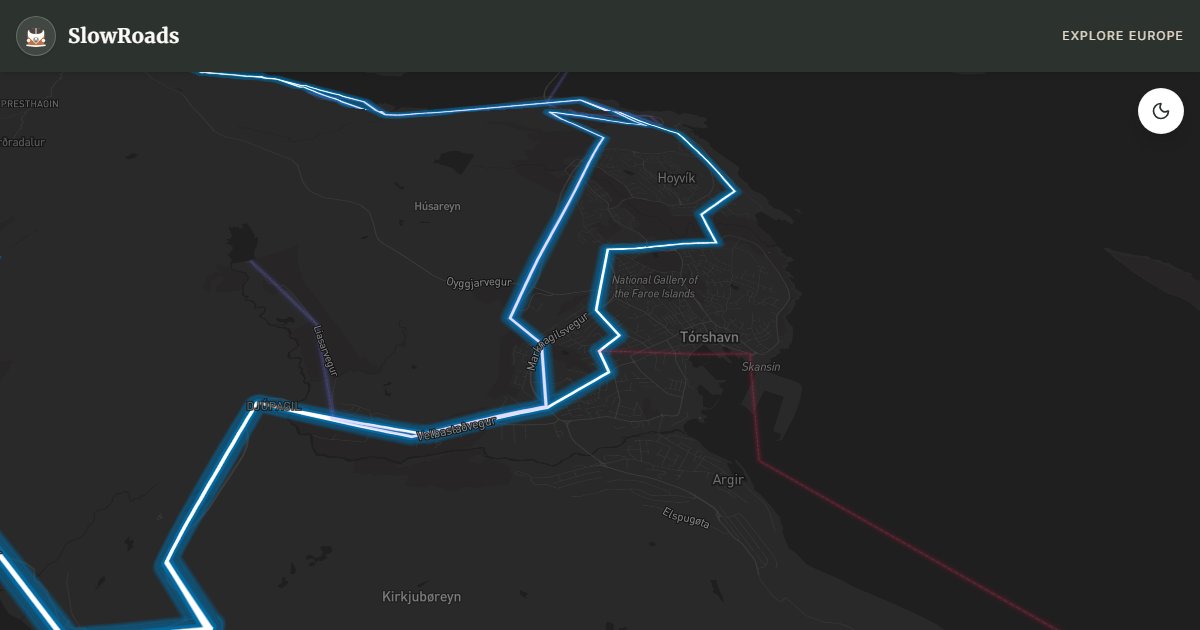
Tórshavn anchors the loop — one of the world's smallest capitals, with turf-roof parliament, harbour cafés, and the best van services in the archipelago (fuel, provisions, ferry bookings). From Tórshavn, Route 50 crosses to Vágar via the Vágatunnilin subsea tunnel (toll payable by card at the booth — height limit 4.2 metres, fine for all vans). The tunnel is two-lane and straightforward; the challenge comes on Vágar's wind-exposed coastal road where gusts can push a high-sided van sideways without warning.
The loop continues north to Streymoy's Saksun lagoon — a tidal amphitheatre of cliffs and grass-roof farmhouses reached via a single-lane road with passing bays. Van etiquette in Faroese tunnels and narrow roads: pull into the nearest passing place for oncoming traffic, headlights on in all tunnels, and never block a passing bay overnight. The Eysturoyartunnilin subsea tunnel (opened 2020) connects via the world's first undersea roundabout — two lanes, well-lit, but the approach roads on Eysturoy climb exposed ridges where wind speeds regularly exceed 25 m/s.
Weather closures are the Faroes' wildcard: mountain roads close without notice in storm warnings, ferries cancel when swells exceed safe limits, and even paved roads can ice in winter despite the Gulf Stream. Check Landsverk.fo road status daily and never ignore red-flag wind warnings with a high-sided van. June through August offers the longest daylight and calmest seas; May and September are quieter with shorter days. Camp at designated sites only — wild camping is restricted. Pair with Gasadalur and Kalsoy routes for the complete Faroes van week.
Frequently Asked Questions
Points of Interest
Kirkjubøur Cathedral Ruins
Monument
A medieval cathedral ruin and oldest wooden house in Europe on Streymoy's historic west coast.
Saksun Lagoon
Nature
A tidal lagoon in a natural amphitheatre — grass-roof village and dramatic mountain backdrop on Streymoy.
Eysturoy Subsea Tunnel
Monument
The Eysturoyartunnilin with the world's first undersea roundabout — 11 km subsea link.
Gjógv Village Gorge
Town
A northern Eysturoy village named for its sea gorge — turf-roof houses and puffin cliffs nearby.
Vágatunnilin to Vágar
Nature
The original subsea tunnel to Vágar airport island — toll booth accepts cards; height limit 4.2 m suits all vans.
Route Highlights
Route Information
* Waze only navigates to the starting point. Use Google Maps for the full scenic route.
Ask Copilot (AI Travel Guide)
Hello! I am your SlowRoads Copilot. I know the Main Islands Scenic Loop intimately. Ask me about scenic viewpoints, local history, hidden culinary gems, or the best camper spots along the way!