About This Route
The Faroes' southern outpost — car ferry from Tórshavn to Tvøroyri through the island's single-lane tunnel chain and wind-battered coast. VAN NOTE: Suðuroy ferry is 2 hours; book van space early. WARNING: South-facing roads take full Atlantic force — frequent weather closures on Route 47; ferry cancels in storm season.
Detailed Route Guide
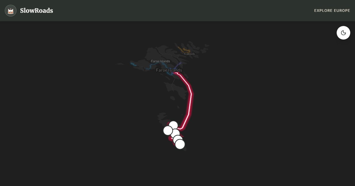
Suðuroy is the Faroe Islands' southern frontier — a separate island reached by a two-hour car ferry from Tórshavn, where single-lane tunnels chain through basalt mountains to villages facing the full force of the North Atlantic with no land between you and Antarctica. For slow van travellers, Suðuroy is a two-day commitment: ferry logistics, tunnel patience, and weather awareness matter more than any mechanical challenge on the island's paved but wind-battered roads.
The ferry from Tórshavn (Kringlan terminal) to Tvøroyri takes approximately two hours — book van space weeks ahead in summer at strandfaraskip.fo. The car deck accommodates vans but height and length must be declared; arrive 30 minutes before departure. Ferry cancellations in storm season (October–March) are frequent — swells in the open crossing can halt service for days. Always check status the morning of departure and avoid scheduling tight connections.
Tvøroyri anchors the island — fuel, provisions, and guesthouse parking for vans. Route 47 runs south through a chain of single-lane tunnels toward Sumba and Akraberg — each tunnel has passing bays, traffic light control on the longest sections, and the standard yield etiquette. The south coast roads are the Faroes' windiest: fully exposed to Atlantic fetch with gusts regularly exceeding 30 m/s in winter. Landsverk closes Route 47 to Akraberg in red-flag warnings — check daily.
Fámjin village offers the flag rock where the original Faroese flag was discovered, beside a lake and basalt stacks. Akraberg lighthouse at the island's tip is the southernmost point in the archipelago — a dramatic endpoint where the road simply stops above sea stacks and open ocean. For VW T3 drivers, the driving is gentle mechanically but mentally demanding in crosswind. Allow two days: day one ferry and Tvøroyri to Fámjin; day two tunnels south to Akraberg if weather permits. Camp at Tvøroyri guesthouses — no formal campsite. Pair with the main islands loop for a complete Faroes itinerary.
Frequently Asked Questions
Points of Interest
Tvøroyri Harbour
Town
Suðuroy's main port — ferry arrival point with shops, fuel, and the island's best van services.
Hvannhagi Cliffs
Nature
Dramatic sea cliffs on Suðuroy's west coast — puffin colonies and Atlantic surf.
Fámjin Lake & Flag Rock
Monument
Where the original Faroese flag was found — lakeside village with basalt sea stacks.
Sumba Tunnel Chain
Monument
A sequence of single-lane tunnels to Suðuroy's southern villages — the island's longest tunnel drive.
Akraberg Lighthouse
Monument
The Faroes' southernmost point — lighthouse above sea stacks at the edge of the North Atlantic.
Route Highlights
Route Information
* Waze only navigates to the starting point. Use Google Maps for the full scenic route.
Ask Copilot (AI Travel Guide)
Hello! I am your SlowRoads Copilot. I know the Suðuroy South Island Crossing intimately. Ask me about scenic viewpoints, local history, hidden culinary gems, or the best camper spots along the way!