About This Route
Gordes to L'Isle-sur-la-Sorgue through Luberon perched villages, Roussillon's ochre cliffs and late-June lavender near Sénanque. Rolling D-roads suit classic campervans; park below medieval centres and walk up — streets were built for donkeys, not loaded campers. Two days minimum; avoid August heat and coach crowds in Gordes and Roussillon. Campgrounds at Apt and the Cavaillon aire handle overnighting; wild camping is prohibited in the regional park. May–early June for green valleys; September for harvest light and quieter lanes. Carry water on the Sentier des Ocres — midday rock heat is fierce.
Detailed Route Guide
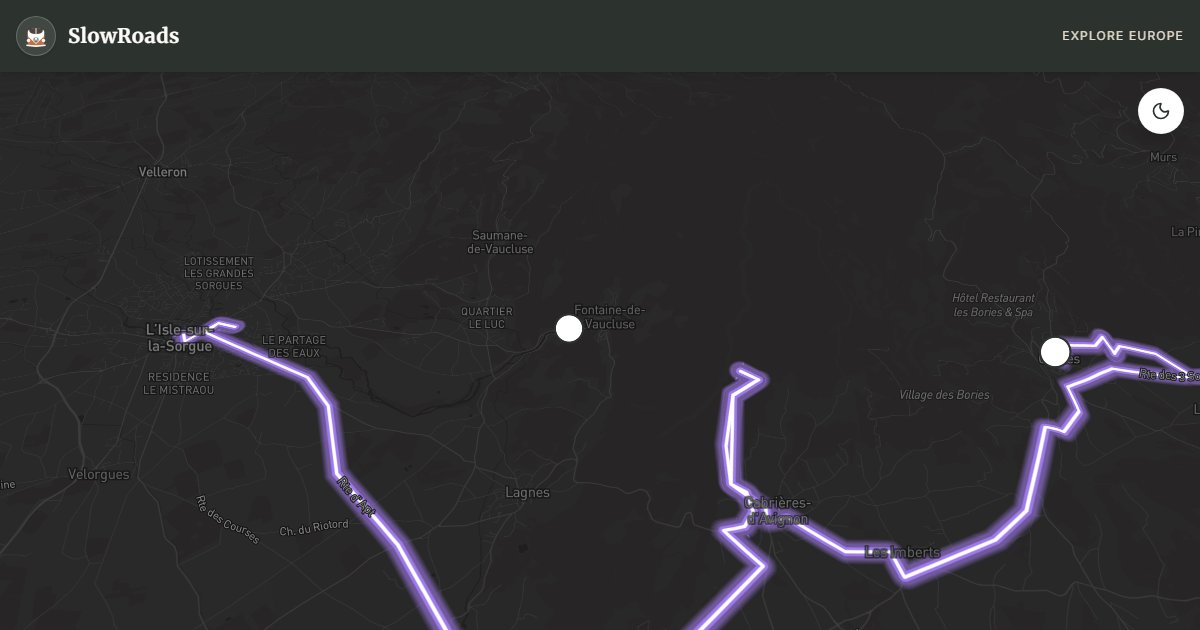
The Luberon circuit from Gordes to L'Isle-sur-la-Sorgue covers sixty kilometres through Provence's most photographed hill villages — perched settlements of golden stone above vineyards, cherry orchards, and in late June the purple geometry of lavender fields that draws photographers from across Europe. This is not alpine driving: the D2 and D900 wind through rolling country with gentle gradients suited to a classic low-power campervan, but the challenge is parking — medieval village centres at Gordes, Roussillon, and Bonnieux were built for donkeys, not campervans. Plan two days and park below the villages, walking up through stone lanes that smell of rosemary and warm limestone. The Parc Naturel Régional du Luberon protects this landscape from sprawl, which means campsites cluster in approved locations rather than scattered roadside stops.
Gordes cascades down a cliff face above the Calavon valley, its castle and church dominating a skyline that appears in every Provence calendar; arrive before 9am in summer or accept that the main street will be a slow-moving queue of visitors. Roussillon's Sentier des Ocres threads through cliffs stained red and yellow by ochre quarries that supplied pigments until the 1930s — the trail takes ninety minutes and the heat on the exposed rock can be fierce by midday. Fontaine-de-Vaucluse, where the Sorgue river emerges fully formed from a cliff base, sits in a narrow valley crowded with restaurants but still remarkable for the sheer volume of water surging from the limestone. Bonnieux and Ménerbes, slightly off the main loop, reward anyone willing to climb for quieter terraces and views across the Luberon massif.
L'Isle-sur-la-Sorgue at the route's end is Provence's antique capital — Sunday markets fill the canalside streets with furniture dealers and the waterwheels that once powered silk mills still turn in the current. Lavender peaks between the last week of June and mid-July on the plateau above Sénanque Abbey and around Bonnieux; outside that window the fields are either green or harvested stubble, still beautiful but not the postcard purple. Cherry harvest in May and truffle season from November add reasons to adjust timing beyond the lavender calendar alone. The Abbaye Notre-Dame de Sénanque, in its valley of lavender, is a short detour that many travellers treat as the emotional centre of the Luberon — go early, respect the monastic quiet, and do not block the approach road with a long vehicle.
Park classic campervans in designated areas below Gordes and Roussillon village centres; never attempt to sleep inside the medieval cores where overnight parking is restricted and streets too narrow to turn. Campgrounds at Apt centralise the Luberon; the Cavaillon aire handles resupply with water and waste disposal. May and early June offer green valleys before peak season; September brings truffle markets and harvest light without August congestion on the D900. Avoid August if possible — Gordes and Roussillon fill with day-trippers from Aix and Avignon, and afternoon temperatures on the ochre trail can exceed 35°C, making the Sentier des Ocres uncomfortable for both walkers and campervan crews waiting in unshaded car parks. Carry water, fold mirrors in tight village approaches, and treat every perched village as a walk-in destination rather than a drive-through photo stop.
Frequently Asked Questions
Points of Interest
Gordes
Town
Perché village above the valley
Roussillon Ochre
Nature
Ochre quarry trail
Fontaine-de-Vaucluse
Nature
Source of the Sorgue river
Route Highlights
Route Information
Navigation
* Supported by HERE Technologies, headquartered in Amsterdam, Europe. Precise routing through all waypoints.
* Waze only navigates to the starting point. Use Google Maps for the full scenic route.
Offline GPS Navigation
Download the GPX route file to navigate offline using your favorite GPS device or app (Garmin, TomTom, OsmAnd, Gaia GPS).
Ask Copilot (AI Travel Guide)
Hello! I am your SlowRoads Copilot. I know the Luberon & Provence Villages intimately. Ask me about scenic viewpoints, local history, hidden culinary gems, or the best camper spots along the way!