About This Route
Liechtenstein's legendary cliff-path access — Triesenberg to Gaflei and the Fürstensteig trailhead via the mountain road above the Rhine valley. Narrow alpine lane with about 9% hairpins and cliff exposure; classic and low-power campervans should only attempt if confident, early, and ready to reverse to turnouts. Leave long vehicles lower and hike. Not a through-route — trailhead parking and boots complete the day. Pair with Rhine valley overnighting. WARNING: Narrow alpine road with exposure; skip if inexperienced or in a long van.
Detailed Route Guide
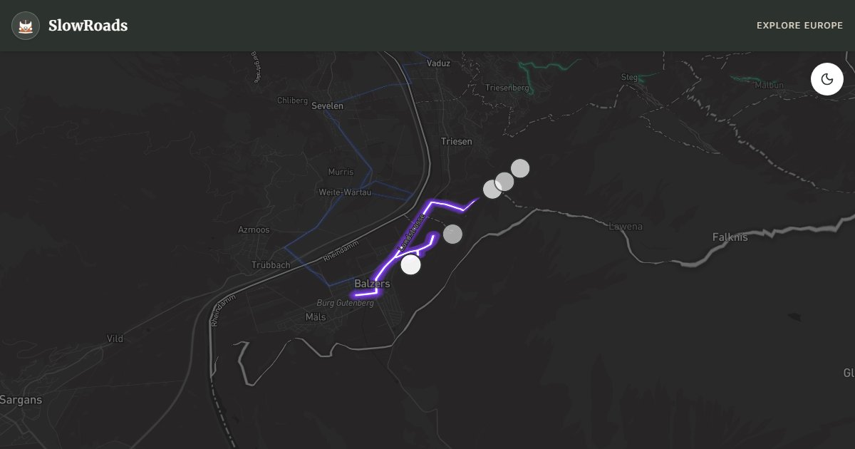
The Fürstensteig approach road is Liechtenstein's most adventurous drive — an eight-kilometre climb from Triesenberg through forest and meadow lanes to the hamlet of Gaflei, where one of Alpine Europe's most dramatic cliff paths begins bolted into the Three Sisters rock face. For slow van travellers, this route is about reaching the trailhead, not completing the Fürstensteig itself (which is a secured hiking path unsuitable for vehicles). The driving challenge is real: narrow mountain asphalt with 9% hairpins, cliff exposure on the upper sections, and passing logistics that favour compact vans over long-wheelbase campers.
Triesenberg provides the start — park near the village centre or church lot if driving a larger van, then follow signs for Gaflei. The mountain road climbs through forest and meadow with Rhine valley views; grades are sustained and lanes narrow. Use Gaflei trailhead parking as the cooling stop before hiking the Fürstensteig.
Gaflei hamlet marks the driving end — a handful of farms and a small lot where Fürstensteig hikers leave vehicles before attaching to the cliff path. The Three Sisters peaks dominate the skyline; on clear days the Rhine valley and Swiss Alps spread below. Classic campervan drivers should pause at Gaflei parking before hiking; the approach road itself is the steep challenge, climb in second gear, and descend in low gear with engine braking.
For classic and low-power campervan drivers, the approach is achievable but not casual — drivers uncomfortable with Alpine narrow roads should consider parking lower in Triesenberg and taking the bus to Gaflei. Long campers over 6 metres may struggle at tight hairpins. Visit May through October; the Fürstensteig trail closes in winter conditions and the approach road can ice on shaded bends. Pair with the Rhine valley route for a complete Liechtenstein day combining wine, castle, and cliff drama.
This drive ends at Gaflei trailhead — the Fürstensteig itself is a bolted cliff hike only (3–4 hours). Vehicles over 6 metres should park in Triesenberg and bus or walk up. Cool at Gaflei before hiking; descend in low gear to protect brakes on exposed hairpins. Trail typically June–October; ice closes winter access. Classic campervans can reach Gaflei with care; inexperienced Alpine drivers should not. Pair with Rhine valley wine and Vaduz for a complete Liechtenstein day.
The Fürstensteig approach via Gaflei is narrow with limited passing and grades around 9% — suitable for careful classic campervans, tight for long motorhomes. Park at Gaflei and hike the cliff path; do not block the single-track for through traffic. Combine with a Rhine Valley recovery day rather than stacking Malbun and Fürstensteig on the same afternoon. Swiss border logistics (vignette, currency) apply as soon as you leave LI toward CH. Start early for parking at Gaflei and cooler hiking temperatures on the cliff path. If cloud sits on the Three Sisters, postpone — the approach road is not worth the stress without the view. Classic and low-power campervan drivers should treat this as a half-day outing from the Rhine Valley, not a rushed tick-list stop.
Frequently Asked Questions
Points of Interest
Triesenberg Vineyard Slopes
Wine Region
South-facing vineyard and meadow slopes above the Rhine valley on the climb toward Gaflei.
Gaflei Trailhead Parking
Town
Small alpine parking area at the Fürstensteig trailhead — arrive early on summer weekends.
Gaflei Hamlet
Town
A tiny alpine hamlet at the Fürstensteig trailhead — last parking before the cliff path.
Fürstensteig Trail Start
Nature
The start of Liechtenstein's most dramatic cliff path — bolted into the Three Sisters rock face. Hiking only beyond this point.
Three Sisters Peaks
Nature
The iconic rock towers visible from the approach road — landmark for the Fürstensteig ridge route.
Route Highlights
Route Information
Navigation
* Supported by HERE Technologies, headquartered in Amsterdam, Europe. Precise routing through all waypoints.
* Waze only navigates to the starting point. Use Google Maps for the full scenic route.
Offline GPS Navigation
Download the GPX route file to navigate offline using your favorite GPS device or app (Garmin, TomTom, OsmAnd, Gaia GPS).
Ask Copilot (AI Travel Guide)
Hello! I am your SlowRoads Copilot. I know the Fürstensteig Mountain Approach intimately. Ask me about scenic viewpoints, local history, hidden culinary gems, or the best camper spots along the way!