About This Route
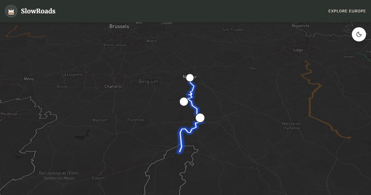
Namur to Givet along the Meuse: limestone cliffs, citadels and Dinant's rock fortress on a flat river corridor through Wallonia. Classic campervan-friendly — choose the wider N96 east bank if coaches crowd the scenic N92 west bank. Annevoie gravity gardens and Lesse kayaking sit just off-route for a slower day. No wild camping — use valley campsites. A half-day core with citadel stops, or a full day if you add Annevoie and a Lesse kayak shuttle from Anseremme. Fuel in Namur or Dinant before quieter French-border miles.
Detailed Route Guide
The Meuse Valley is Belgium's most dramatic river corridor — a geological theatre where the river has sliced through the Condroz plateau over millions of years, leaving sheer limestone cliffs, hidden caves, and dramatic rock formations draped with forest. The route begins at Namur, the capital of Wallonia, where the Meuse meets the Sambre beneath the enormous citadel that dominates the city. This fortress, layered with Roman, medieval, and Napoleonic fortifications, has defended the river crossing for over 2,000 years and sets the historical tone for the entire drive south.
Between Namur and Dinant the road hugs the west bank of the Meuse through a continuous series of natural spectacles. The Gardens of Annevoie — 18th-century water gardens powered entirely by gravity — are a hidden gem just off the main road and deserve at least an hour. Dinant is the emotional climax of the route: the town is squeezed into a strip of land barely wide enough for its main street between the river and a sheer 100-metre cliff, topped by the citadel that a cable car will carry you up to. The town is the birthplace of Adolphe Sax, inventor of the saxophone, and brightly coloured saxophone sculptures punctuate the bridge. The 'flamiche' — a leek and cream tart — is the local speciality to seek out. South of Dinant the cliffs grow even more dramatic before the French border at Givet.
For classic and low-power campervans, this route is ideal. The valley road is completely flat — the Meuse itself does all the climbing — and the surface quality is good throughout. One practical consideration: the N92 along the west bank of the Meuse south of Dinant is narrower than the east bank road and can be tight with oncoming tourist coaches in summer. The east bank (N96) is wider and slightly less scenic but perfectly comfortable. Fuel is available in Namur, Dinant, and Hastière.
Spring is lovely when the riverside fruit trees blossom. Summer is the busiest season, with kayakers and tourists crowding Dinant in particular — an early morning or late afternoon arrival at Dinant allows you to enjoy the town without the crowds. Autumn brings rich colour to the cliff-top forests. The route is navigable year-round, though the narrow valley can accumulate morning mist in autumn and winter that is atmospheric rather than problematic.
Overnight only on official campsites along the Meuse — wild camping is illegal. In peak summer, arrive in Dinant early for citadel parking and avoid coach congestion on the N92; the east-bank N96 is the calmer choice for a loaded older camper. Pair a morning citadel visit with an afternoon Lesse kayak shuttle from Anseremme.
Namur's citadel sets the tone: river fortress towns stacked against cliffs. Between Profondeville and Dinant the west bank is the postcard; south of Dinant the gorge tightens toward France at Givet. Flamiche and couques de Dinant are the edible souvenirs. For a classic camper the day is about timing Dinant, not conquering altitude.
SlowRoads tip: photograph Dinant from the opposite bank first, then decide whether the cable car or the steps suit your knees and schedule.
Frequently Asked Questions
Points of Interest
Citadel of Namur
Castle
Citadel of Dinant
Castle
Gardens of Annevoie
Nature
Route Highlights
Route Information
Navigation
* Supported by HERE Technologies, headquartered in Amsterdam, Europe. Precise routing through all waypoints.
* Waze only navigates to the starting point. Use Google Maps for the full scenic route.
Offline GPS Navigation
Download the GPX route file to navigate offline using your favorite GPS device or app (Garmin, TomTom, OsmAnd, Gaia GPS).
Ask Copilot (AI Travel Guide)
Hello! I am your SlowRoads Copilot. I know the Meuse River Valley intimately. Ask me about scenic viewpoints, local history, hidden culinary gems, or the best camper spots along the way!