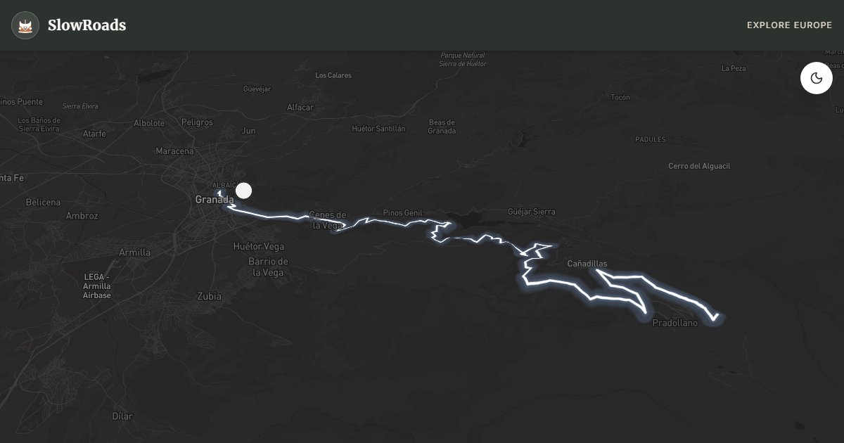
About This Route
Climb from Granada to Hoya de la Mora at about 2,500 m on Europe's highest paved road network — private vehicles stop there; the upper section toward Pico Veleta stays restricted. In under an hour you leave Moorish gardens for alpine scrub and, on clear days, views that can reach Africa. The ascent is almost unbroken for 38 km, so low-power campervans need early starts, low gears, and coolant on board. Rest at Pradollano ski resort mid-climb. Book Alhambra tickets separately and aim for morning light before haze builds. High road access is most reliable June–October.
Detailed Route Guide
The Sierra Nevada High Altitude Road climbs Europe's highest paved road network — though private vehicles are restricted beyond Hoya de la Mora at about 2,500 metres, with the upper section to Pico Veleta (3,394 m) reserved for authorised traffic and hikers. From Granada's Moorish gardens, the route is a remarkable climb where the air thins, views can reach across the Mediterranean to Africa on clear days, and the landscape resembles sub-Arctic tundra rather than anything obviously Spanish. The route begins in Granada, home to the Alhambra — one of the greatest surviving Islamic palace complexes in the world — and ascends continuously for 38 kilometres to the Hoya de la Mora plateau. For anyone interested in altitude, geology, or simply standing above the clouds while looking south towards Morocco, the Sierra Nevada road is unlike any other drive in continental Europe.
The Sierra Nevada mountain range is distinctive in the European context: the highest range on the Iberian Peninsula and the only one outside Scandinavia where glacially carved terrain, perennial snowfields, and genuinely alpine ecosystems survive at this latitude. Below the treeline (around 2,000 metres), the road passes through fragrant scrubland of gorse, lavender, and thyme. Above 2,500 metres, vegetation becomes increasingly sparse — low cushion plants, saxifrages, and specialist alpine species adapted to the intense UV radiation and winter snows. The Pradollano ski resort at around 2,100 metres marks the midpoint, where facilities and car parks offer a logical rest stop. Beyond the resort, the landscape becomes increasingly lunar and the views increasingly vast.
For classic and low-power campervan drivers, the Sierra Nevada road is perhaps the most extreme single-day test available in Spain. The climb from Granada (680 metres) to Hoya de la Mora (about 2,500 metres) is unrelenting — the road ascends without significant flat sections for almost the entire 38 kilometres. That means first or second gear for extended periods, constant vigilance of the temperature gauge, and the genuine possibility of boiling a poorly maintained cooling system. Start early in the morning when air temperature is lowest; stop whenever the gauge rises into the high range (let the engine idle, do not switch off when hot); and carry additional coolant. Manage the descent with engine braking throughout rather than riding the foot brake.
The Sierra Nevada is open year-round to Pradollano, and the ski season runs approximately December through April. The high road above the resort is typically accessible from June through October, though snow can close it at any time. July and August are the most reliable months for the highest road access. The best views are in the morning before atmospheric haze builds — on exceptionally clear days (particularly after rain or high-pressure systems from the north), the coast of Africa is visible across the Strait of Gibraltar, one of the most extraordinary panoramic rewards available from any European road. Book Alhambra tickets for a separate afternoon or day so the climb can start before city traffic builds. Carry spare coolant and a basic toolkit; mountain services thin out above Pradollano, and a boiling radiator mid-climb is far easier to manage with water already on board.
Frequently Asked Questions
Points of Interest
Alhambra Viewpoint
Monument
Veleta Peak View
Nature
Sierra Nevada Observatory
Monument
Route Highlights
Route Information
Navigation
* Supported by HERE Technologies, headquartered in Amsterdam, Europe. Precise routing through all waypoints.
* Waze only navigates to the starting point. Use Google Maps for the full scenic route.
Offline GPS Navigation
Download the GPX route file to navigate offline using your favorite GPS device or app (Garmin, TomTom, OsmAnd, Gaia GPS).
Ask Copilot (AI Travel Guide)
Hello! I am your SlowRoads Copilot. I know the Sierra Nevada - High Altitude Road intimately. Ask me about scenic viewpoints, local history, hidden culinary gems, or the best camper spots along the way!