Tara National Park & Drina Canyon
About This Route
Ancient forest and Europe's deepest river canyon — Bajina Bašta gateway to Tara NP, Drina River viewpoints, and the famous house on the rock. WARNING: Mountain roads R346 and R347 reach 8% grades with hairpins; winter closure possible above 1,000 m.
Detailed Route Guide
Tara National Park protects one of Europe's last primeval forests — a UNESCO tentative site where Serbian spruce trees older than the Renaissance stand above the Drina River canyon, the deepest river gorge on the continent. This roughly 110-kilometre loop from Bajina Bašta through Perućac, Zaovine Lake, and the Banjska Stena viewpoint combines river drama with highland forest serenity in western Serbia's borderlands with Bosnia — a region where the Drina has historically divided empires and today divides two nations while sharing identical mountain scenery.
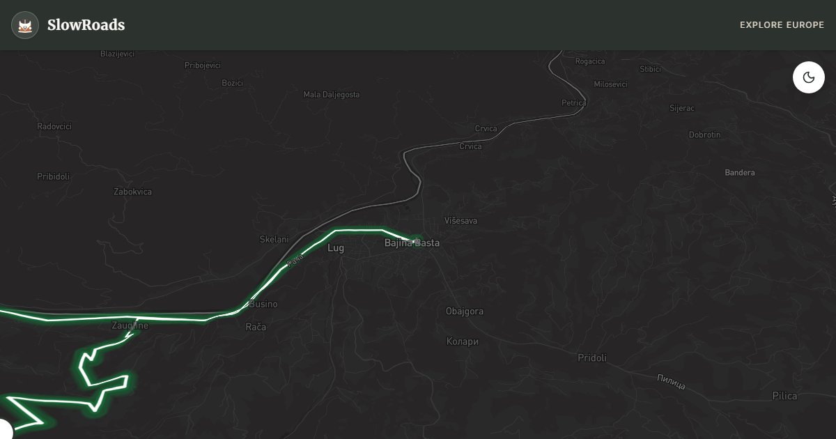
Bajina Bašta anchors the loop — a Drina valley town with supermarkets, fuel, repair shops, and several guesthouses with van parking. The famous House on the Drina — a tiny wooden cabin built on a river rock in 1968 and rebuilt after floods — sits minutes from town on a viewpoint pullout that fills with photographers at sunset. From Bajina Bašta, roads climb into Tara National Park through mixed beech and spruce forest, gaining elevation toward Zaovine Lake and the highland plateau.
The climb to Banjska Stena is the route's mechanical challenge — R346 and R347 forest roads reach 8% gradients on hairpins through ancient woodland. T3 drivers should climb in second gear and use Zaovine Lake as a cooling stop before the final ascent to the cliff viewpoint. Banjska Stena itself is a terraced limestone ledge where the Drina canyon drops 400 metres below your feet — Bosnia visible on the far bank, eagles riding thermals in the gorge. The viewpoint requires a short walk from parking; arrive early for mist-free views.
Perućac Lake offers boat tours deep into the Drina canyon — emerald water between vertical walls — and the Rača Monastery provides cultural contrast in a forest clearing. For slow van travellers, Tara demands two to three days: one for the house and lake, one for Banjska Stena and Zaovine hiking, optional third for Bosnia cross-border extension to Višegrad. Camp at Zaovine Lake autocamp or Bajina Bašta guesthouses. May through October is the season; winter closes roads above 1,000 metres. Pair with Bosnia's Drina valley routes for a complete canyon week.
Frequently Asked Questions
Points of Interest
House on the Drina
Monument
The iconic wooden house perched on a river rock — Serbia's most photographed landmark.
Banjska Stena Viewpoint
Nature
A cliff terrace overlooking the Drina canyon 400 metres below — Tara's signature panorama.
Zaovine Lake
Nature
An artificial lake surrounded by primeval forest — quiet camping and hiking hub.
Rača Monastery
Monument
A thirteenth-century Serbian Orthodox monastery hidden in Tara forest.
Perućac Lake
Nature
A Drina reservoir with boat tours into the canyon and waterfall spillways.
Route Highlights
Route Information
* Waze only navigates to the starting point. Use Google Maps for the full scenic route.
Ask Copilot (AI Travel Guide)
Hello! I am your SlowRoads Copilot. I know the Tara National Park & Drina Canyon intimately. Ask me about scenic viewpoints, local history, hidden culinary gems, or the best camper spots along the way!