About This Route
The southern section of the world's longest defined coastal touring route. Dramatic cliffs, ancient forts, and the roar of the Atlantic.
Detailed Route Guide
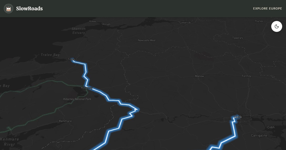
The Wild Atlantic Way is the world's longest officially defined coastal touring route, stretching 2,500 kilometres along Ireland's entire western seaboard. This southern section — running roughly 250 kilometres from Cork through West Cork and the Beara Peninsula up to Tralee in Kerry — captures the route's most dramatic character. The coastline here is raw and geological: ancient sandstone headlands, blow-holes, sea arches, and sheer cliff faces sculpted over millennia by Atlantic swells. Human history is equally layered, from Iron Age cliff forts to famine-era villages, from Cromwellian coastal towers to the fishing communities that still haul lobster pots from painted trawlers in small harbours.
The journey through West Cork alone justifies the detour. Kinsale, just south of Cork, is a handsome harbour town known for its food scene and the ruins of Charles Fort, a star-shaped 17th-century fortification overlooking the estuary. Skibbereen carries the weight of famine memory — the local heritage centre is among the most affecting in the country. The road out to Mizen Head, the most south-westerly point of the Irish mainland, crosses a suspension bridge to a signal station perched above churning sea. The Beara Peninsula, often overlooked by visitors rushing to Kerry, offers Healy Pass — a mountain road with tight switchbacks and vertiginous views — and the Dursey Island cable car, the only aerial tramway crossing a sea channel in Ireland or Britain. Northward through Kenmare, the route joins Kerry's coastline and climbs toward Tralee, the gateway to the Dingle Peninsula.
For VW T3 travellers, this multi-day route requires planning. The roads are varied: the N71 through West Cork is well-maintained and genuinely scenic, while detours onto peninsula roads like the R591 on Beara narrow dramatically. Healy Pass has steep gradients and hairpin bends — a T3 will manage, but in low gear and with plenty of patience. The route naturally breaks into two or three days, with overnight stops in Skibbereen, Bantry, Glengarriff, or Kenmare all offering campsites or van-friendly parking areas. Fuel is reasonably available throughout, though always top up before peninsula detours. The coastal weather changes fast, so carry layers and waterproofs regardless of the forecast.
May and June are considered the prime months for this section of the Wild Atlantic Way: the wildflowers are spectacular, the gorse blazes yellow on every hillside, and the crowds are manageable. September and early October are equally rewarding, with long clear evenings and a quiet road. The winter months from November to February see the Atlantic at its most ferocious — dramatic but not always driveable in a vehicle with no heating. Bird-watchers prize the autumn months when rare migrants make landfall on Cork headlands like Mizen and Galley Head. Whatever time of year, build in extra time: this is a coastline that demands you stop, walk to cliff edges, and listen to the Atlantic.
Frequently Asked Questions
Points of Interest
Mizen Head
Nature
Most south-westerly point
Route Highlights
Route Information
* Waze only navigates to the starting point. Use Google Maps for the full scenic route.
Ask Copilot (AI Travel Guide)
Hello! I am your SlowRoads Copilot. I know the Wild Atlantic Way (South) intimately. Ask me about scenic viewpoints, local history, hidden culinary gems, or the best camper spots along the way!