About This Route
Central Bosnia's Ottoman heritage — Travnik's fortress and coloured mosques, Jajce waterfall where the Pliva meets Vrbas, and the gentle Vrbas valley toward Banja Luka. Historic towns on moderate valley roads.
Detailed Route Guide
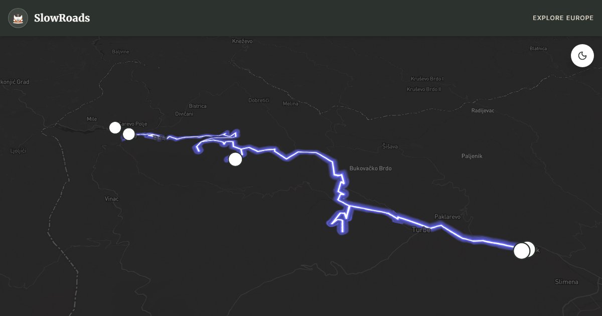
Central Bosnia's Vrbas valley is the country's Ottoman heartland — a corridor of fortress towns, coloured mosques, and river gorges where Nobel laureate Ivo Andrić set his novels and where the Pliva river drops 22 metres through the centre of Jajce town in one of Europe's most unusual urban waterfalls. This roughly 80-kilometre route from Travnik through the Vrbas valley to Jajce and the Pliva lakes is Bosnia's most culturally dense day drive: moderate valley grades, excellent asphalt, and a concentration of historic sites that rivals Mostar without the coach crowds.
Travnik was the Ottoman vizier's seat — the "European Istanbul" where successive governors built mosques, fountains, and the fortress that still crowns the hill above the coloured Sulejmanija mosque. Ivo Andrić, Bosnia's Nobel Prize-winning author, was born here; his house museum documents the town's layered history. The fortress climb takes thirty minutes and offers valley views across the Vrbas plain. Travnik's old town lanes are tight for vans — park below the fortress and walk.
The Vrbas valley road westward follows the river through limestone gorges and open agricultural plains — gentle grades, occasional viewpoints where the river cuts between cliffs, and roadside stalls selling honey and cheese. The drive to Jajce takes ninety minutes with stops; the landscape transitions from Ottoman urban heritage to forested highland as you approach the Pliva headwaters.
Jajce is the route's visual climax. The town's waterfall is unique — the Pliva river exits two lakes above town and plunges 22 metres directly into the Vrbas at the base of a medieval fortress. The cascade is in the town centre, visible from multiple bridges and terraces. Above Jajce, the Pliva lakes (Veliko and Malo) offer forest swimming, wooden watermill museums, and kayak rental on mirror-still water.
For VW T3 travellers, this route is mechanically effortless — valley roads with maximum 4–5% grades. Travnik and Jajce both have guesthouses with van parking; no major autocamps but overnight parking is straightforward. Visit May through October; Jajce waterfall volume peaks in spring. Combine with Sarajevo (90 minutes east) and Una National Park (2 hours north) for a central Bosnia heritage triangle.
Frequently Asked Questions
Points of Interest
Travnik Fortress
Castle
A medieval citadel above the Ottoman vizier's town — Ivo Andrić's birthplace views.
Jajce Waterfall
Nature
Where the Pliva river plunges 22 metres into the Vrbas — a waterfall in the town centre.
Pliva Lakes
Nature
Twin forest lakes above Jajce with wooden mills and clear swimming water.
Travnik Coloured Mosque
Monument
The painted Sulejmanija mosque — Travnik's Ottoman architectural jewel.
Vrbas Canyon View
Nature
Roadside viewpoint where the Vrbas cuts through limestone between Travnik and Jajce.
Route Highlights
Route Information
* Waze only navigates to the starting point. Use Google Maps for the full scenic route.
Ask Copilot (AI Travel Guide)
Hello! I am your SlowRoads Copilot. I know the Travnik & Vrbas Valley intimately. Ask me about scenic viewpoints, local history, hidden culinary gems, or the best camper spots along the way!