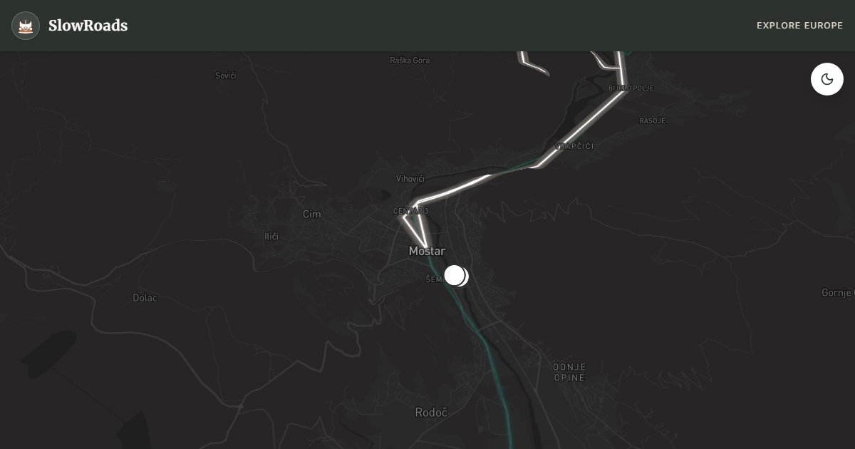
UNESCO Mostar & Blidinje Highland
About This Route
A loop from Mostar up to Blidinje Nature Park — alpine Blidinje Lake at 1,184 m, medieval stećci fields at Dugo Polje, wild horses, and the descent through Jablanica's wartime landscape. Mix of canyon and highland with moderate mountain grades on R435 that classic and low-power campervans can manage with cooling pauses. Start at Stari Most and Kujundžiluk, climb for highland silence, return via lake memorials. Summer weekends bring hikers; shoulder seasons feel emptier. Two days reward the altitude change from Herzegovina heat to mountain air.
Detailed Route Guide
The Mostar–Blidinje loop combines Herzegovina's two landscapes that rarely appear in the same itinerary — the UNESCO canyon town and the alpine highland lake that Bosnians call their "mountain sea." This roughly 279-kilometre circuit climbs north from Mostar on R435 through ascending valleys to Blidinje Nature Park at 1,184 metres, then returns via Jablanica and the Neretva reservoir — a full day of driving with a highland afternoon that feels like a different country from the turquoise gorge below.
Mostar anchors the loop. The Stari Most (Old Bridge) — rebuilt after Croatian artillery destroyed it in 1993 — is Bosnia's most recognised monument. Divers plunge 24 metres into the Neretva on summer afternoons; the Kujundžiluk bazaar sells copper and coffee in Ottoman alleyways. Spend the morning here before climbing north; van parking on the west bank lot avoids the old town's impassable lanes.
The ascent to Blidinje gains roughly 800 metres over forty kilometres — grades moderate at 5–7% on well-paved R435, winding through beech forest and open highland. Blidinje Lake spreads across a glacial basin ringed by Čvrsnica and Vran mountains — wild horses graze the shores, mountain huts serve trout and lamb, and the silence is profound. Dugo Polje necropolis nearby contains hundreds of stećci tombstones in a meadow — one of the largest medieval cemetery fields in the Balkans, UNESCO-listed alongside the bridge in Mostar.
The return via Jablanica retraces the Neretva on M17 past the partisan bridge memorial and reservoir restaurants. The full loop rewards two days: day one for Mostar and ascent, day two for Blidinje exploration and descent.
For classic and low-power campervan drivers, R435 is manageable — steeper than M17 but short grades with good surfaces. Blidinje has a mountain hut with parking; no formal campsite but guesthouses accept vans. Visit June through September; winter snow closes the highland road. Pair with Neretva Canyon and Una National Park routes for a complete western Bosnia week. R435's 5–7% grades over forty kilometres are the loop's only mechanical ask — short enough for a low-power van in second gear, long enough to watch temperatures on a hot July climb. Blidinje has hut parking with permission rather than a formal campsite; Mostar riverside sites bookend the circuit. Winter snow often closes the highland road December–March, while Mostar stays open year-round. Pair with Neretva canyon south and Una west for a western Bosnia week that mixes UNESCO stone with alpine silence. Spend the Mostar morning on foot from the west-bank lot: Stari Most divers in summer, Kujundžiluk copper alleys, and coffee before the highland climb. On R435, treat the forty-kilometre ascent as a cooling exercise — second gear, shade stops, no midday rush in July. At Blidinje, walk the stećci meadow at Dugo Polje and eat at a mountain hut before descending via Jablanica's reservoir restaurants. Two days prevent the loop from becoming a checklist; one rushed day misses both the bridge atmosphere and the alpine quiet that make the circuit worth the climb for slow travellers in older campers.
Frequently Asked Questions
Points of Interest
Stari Most (Old Bridge)
Monument
UNESCO Ottoman bridge rebuilt after 1993 destruction — divers plunge 24 metres in summer.
Blidinje Lake
Nature
An alpine glacial lake at 1,184 m in a nature park — wild horses and mountain hut restaurants.
Dugo Polje Stećci
Monument
One of the largest stećci necropolises — hundreds of medieval tombstones in a highland meadow.
Jablanica Memorial
Monument
WW2 bridge demolition site and partisan history museum beside the lake.
Kujundžiluk Bazaar
Town
Mostar's cobbled craft market — copper, textiles, and Turkish coffee beside the Neretva.
Route Highlights
Route Information
Navigation
* Supported by HERE Technologies, headquartered in Amsterdam, Europe. Precise routing through all waypoints.
* Waze only navigates to the starting point. Use Google Maps for the full scenic route.
Offline GPS Navigation
Download the GPX route file to navigate offline using your favorite GPS device or app (Garmin, TomTom, OsmAnd, Gaia GPS).
Ask Copilot (AI Travel Guide)
Hello! I am your SlowRoads Copilot. I know the UNESCO Mostar & Blidinje Highland intimately. Ask me about scenic viewpoints, local history, hidden culinary gems, or the best camper spots along the way!