About This Route
Follow the German Volcano Road through the Eifel: Laacher See caldera, Daun crater lakes (Maare), and basalt landscapes on rolling highland roads. Constant short climbs mean gear changes and cooling awareness for classic and low-power campervans — not alpine passes, but never truly flat. Fuel before quiet forest loops; Stellplätze and campgrounds cluster near Daun and the lakes. Spring wildflowers and autumn mist suit slow travel; winter ice on shaded Maare roads needs caution. No tolls; wild camping is generally not allowed — use designated overnight sites.
Detailed Route Guide
Germany has volcanoes — and the German Volcano Road through the Eifel region is where you go to find them. Not the fire-breathing variety (the last major Eifel eruption, at Laacher See, was around 13,000 years ago), but a remarkably preserved volcanic landscape of craters, lava flows, basalt columns, and the most photogenic feature: the Maare. These circular crater lakes, formed when rising magma met groundwater and caused violent phreatomagmatic explosions, are among the most beautiful and unusual lakes in Europe. Perfectly round, strikingly deep (the Gemündener Maar reaches 39 metres), surrounded by forested rims, and so still that the reflections are perfect.
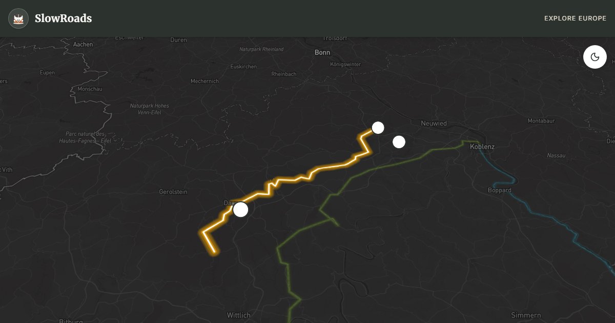
The 63-kilometre route loops through the western Eifel hills, connecting 39 geological sights officially recognised on the Vulkanstraße. It begins at the Laacher See — the largest and most impressive of all the Eifel lakes, actually a collapsed volcanic caldera 3.5 kilometres across. The Benedictine Abbey Maria Laach on its shore, founded in 1093, is one of the best-preserved Romanesque monasteries in Germany and still an active monastic community producing beer, fruit, and vegetables. The combination of abbey and volcanic lake is genuinely unusual and worth an extended stop. The lake still releases carbon dioxide from the volcanic activity far below — bubbles rise from the water near the shore, a peculiar reminder of what lies beneath.
The core of the Volcano Road winds through the Daun Maare (three lakes near the town of Daun) and the Mosenberg, where a series of overlapping craters forms a volcanic landscape that geologists come from around the world to study. Near Manderscheid, the two ruined hilltop castles overlooking the Lieser valley date from the same period as the Norman conquest of England — their setting on volcanic basalt promontories is particularly dramatic. The town of Gerolstein has a beer brewing tradition going back centuries and is built directly on a Devonian coral reef (this whole region was once a tropical sea).
The Eifel's volcanic heritage extends underground. Several former basalt quarries have been converted into visitor sites where you can walk through lava tunnels and examine volcanic rock formations. The Lava-Dome near Mendig (the former Herchenberg tunnel) is an impressive underground chamber carved out by lava and later used for millennia as a cool beer cellar.
For classic and low-power campervans: the Eifel is hilly but not dramatically steep. The roads wind constantly through forested valleys and over ridges, requiring frequent gear changes but no single pass of extreme gradient. Engine temperatures remain manageable. The main advice is to take the Maar road detours (often narrow one-lane forest roads down to the lake shores) carefully — passing places are infrequent and reversing a van on a forest slope requires patience. The Eifel is a popular weekend destination from Cologne and the Rhineland, so summer weekends can see some traffic; midweek is significantly quieter.
Spring and autumn colour the crater rims best; October mist on the Maare is worth an early start. Combine a midweek Eifel loop with a Mosel Wine Road day for river flatness after the hills. Campgrounds near Daun, Gerolstein, and Manderscheid are the practical overnight bases — wild camping is not generally permitted. Carry cash for small Stellplätze and watch height signs on older village bridges.
Frequently Asked Questions
Points of Interest
Laacher See
Nature
Dauner Maare
Nature
Lava-Dome
Monument
Route Highlights
Route Information
Navigation
* Supported by HERE Technologies, headquartered in Amsterdam, Europe. Precise routing through all waypoints.
* Waze only navigates to the starting point. Use Google Maps for the full scenic route.
Offline GPS Navigation
Download the GPX route file to navigate offline using your favorite GPS device or app (Garmin, TomTom, OsmAnd, Gaia GPS).
Ask Copilot (AI Travel Guide)
Hello! I am your SlowRoads Copilot. I know the German Volcano Road intimately. Ask me about scenic viewpoints, local history, hidden culinary gems, or the best camper spots along the way!