About This Route
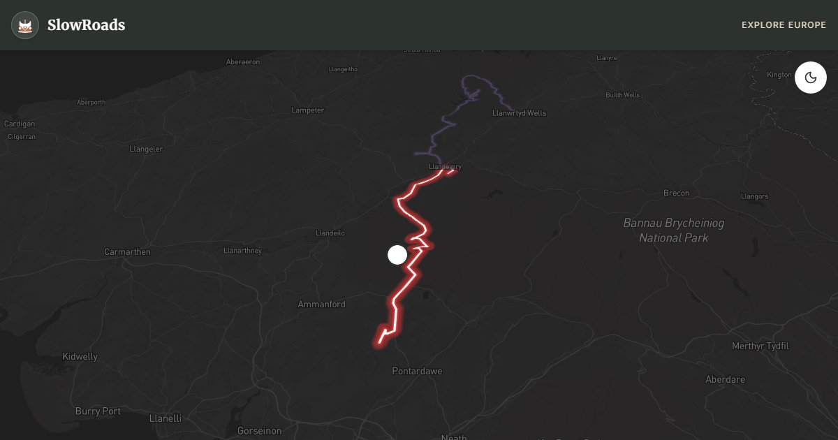
Top Gear made the A4069 Black Mountain Pass famous; open Bannau Brycheiniog moorland and the Cuckoo Turn hairpin make it essential for classic and low-power campervans. This roughly 40 km drive from Llandovery to Gwaun-Cae-Gurwen climbs western Beacons country with steep grades, sheep on the tarmac, and sudden mist. Climb in a low gear, cool the engine, and descend with engine braking rather than riding the foot brake. The pass can close briefly in winter ice or snow — check Traffic Wales. Wild camping without landowner permission is generally illegal in Wales; use farm campsites near Llandovery or Brynamman. Half a day is enough if you stop at the hairpin viewpoint and treat the road as scenery, not a race.
Detailed Route Guide
The Black Mountain Pass on the A4069 is one of the most celebrated driving roads in Wales — roughly thirty-four kilometres of tarmac climbing the western edge of Bannau Brycheiniog (Brecon Beacons) National Park between Llandovery and Gwaun-Cae-Gurwen. Top Gear helped put it on national lists of great British drives, but the landscape itself remains wild moorland: grass and bracken to the horizon, sheep on the carriageway, and weather that can flip from clear to cloud in minutes. For classic and low-power campervans the appeal is not speed — it is the geometry of the climb, the Cuckoo Turn hairpin, and the sense of open upland after enclosed valley lanes.
The route begins in Llandovery, a market town at the foot of the Cambrian hills in Carmarthenshire, where a ruined Norman castle overlooks the River Tywi. Southbound, the A4069 crosses farmland before climbing through forest edge onto open moor. Hedgerows give way to a vast sweep of upland; the road narrows; the sky opens. This western Beacons country is elemental rather than alpine — high, exposed, and part of the Fforest Fawr UNESCO Global Geopark, with limestone caves, waterfalls and ancient cairns reachable from roadside parking if you build in walking time.
The centrepiece is Cuckoo Turn — the tight, often-photographed hairpin near the high point of the pass, where the road snakes below a scarp edge. Informal pull-offs on the hillside above let you stop safely; do not linger on blind bends. Views from near the summit can take in the Usk country to the east and, on very clear days, a hint of the Bristol Channel to the south. The descent toward Brynamman and Gwaun-Cae-Gurwen in the Swansea Valley is steep and twisting: use low gears and engine braking rather than riding the foot brake, especially in older vans with modest brakes. Sheep and sudden mist are as much a hazard as gradient.
Winter ice and snow can close the A4069 for short periods; there is no guarantee of continuous gritting on the highest sections — check Traffic Wales before you commit in December–February. April–October is the most reliable window. Wild camping without landowner permission is generally illegal in Wales, including inside the national park; use farm campsites and designated pitches rather than summit lay-bys. Combine the pass with quieter Beacons B-roads or a return via the A470 if you want a full day of mountain driving without treating the A4069 as a race track. Practical pacing turns this celebrity road into a slow-travel day rather than a checklist dash. Fill fuel in Llandovery before you climb; services thin out on the open moor. Carry a paper map or offline download — mobile signal can drop in the folds of the Beacons. If your classic or low-power campervan runs hot, pull into a safe lay-by, idle with the heater on to draw heat from the engine, and wait for the gauge to settle before continuing. On the descent, pause only where you can leave the carriageway clear for motorcycles and local traffic that know the road well. Pair the A4069 with a quieter afternoon on Beacons B-roads, or overnight in Llandovery and continue next day toward the Heart of Wales A483 for contrast: steep moorland one day, empty sheep hills the next. May and September often give clearer light and fewer weekend sports cars than midsummer bank holidays.
Frequently Asked Questions
Points of Interest
Cuckoo Turn (The Hairpin)
Nature
Iconic blind hairpin near the summit
Route Highlights
Route Information
Navigation
* Supported by HERE Technologies, headquartered in Amsterdam, Europe. Precise routing through all waypoints.
* Waze only navigates to the starting point. Use Google Maps for the full scenic route.
Offline GPS Navigation
Download the GPX route file to navigate offline using your favorite GPS device or app (Garmin, TomTom, OsmAnd, Gaia GPS).
Ask Copilot (AI Travel Guide)
Hello! I am your SlowRoads Copilot. I know the Black Mountain Pass (A4069) intimately. Ask me about scenic viewpoints, local history, hidden culinary gems, or the best camper spots along the way!