About This Route
Molde loop of Atlanterhavsveien plus Averøy coast: Storseisundet, Eldhusøya walkway, and Håholmen by boat. Flat bridges, no passes — ideal for older low-power campervans — but Atlantic storms can close the road. Toll-free since 1999. Extend the classic Atlantic Road into a fuller coastal day with harbour stops and island walks. Watch crosswinds on exposed spans and keep a weather app open. A gentler Norway classic when Trollstigen or Geiranger feel too steep for the day's energy. Allow extra time for photo pullouts, fuel stops, and cooling breaks in older vans.
Detailed Route Guide
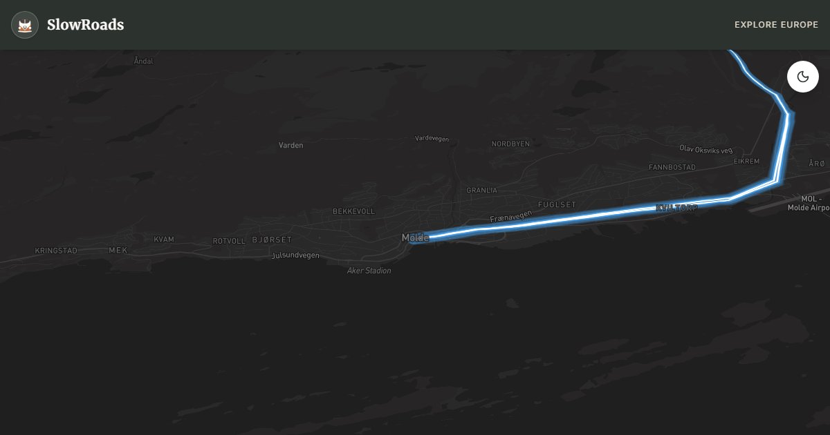
Eighty-five kilometres from Molde loop through the Atlanterhavsveien — the Atlantic Ocean Road — and the wider Averøy coast, where eight bridges hop between skerries on a causeway barely above Hustadvika's notorious swell and the Storseisundet Bridge curves so sharply it appears to launch drivers into open sea on photographs. This is Norway's most engineered coastal joyride: essentially flat, no mountain passes, ideal for older, low-power campers that prefer bridges to switchbacks — yet entirely exposed to Atlantic weather that can reduce visibility to metres within minutes. The extended loop adds Eldhusøya's cantilever walkway and the historic fishing island of Håholmen, reached by seasonal boat shuttle, beyond the famous bridge sequence alone. Base yourself in Molde for fjord views toward the Romsdal Alps, then drive north onto Averøy and the ocean road before looping back.
Storseisundet Bridge is the postcard — roughly 260 metres of concrete arc where the road seems to climb a roller coaster before dropping to the next islet, and spray from Hustadvika crashes over the guardrail in winter storms that can close the route briefly. Eldhusøya offers a steel walkway circling a small island summit with views back along the bridge chain; park in the designated lot and walk — the car park closes at dusk with no overnight permission. Askevågen and other signed viewpoints along the official scenic stretch reward slow stops when coach traffic peaks. Håholmen preserves nineteenth-century fishing buildings where a short ferry from Geitøya delivers cod-drying history and café lunches; vehicles stay on the mainland. Bud, at the southern end of the classic Atlantic Road segment, is a historic fishing village worth an hour on foot before you return toward Molde.
No tolls on the Atlanterhavsveien itself — a rare gift on Norwegian road trips (tolls were removed in 1999). Fuel in Molde and Bud; the Håholmen ferry charges per passenger, not vehicle. Atlantic spray makes deck surfaces slippery — reduce speed below the limit when waves are visible, and keep a firm grip on the wheel of a high-sided van in crosswinds. Vevang camping near the road's north end suits classic camper pitches; Molde harbour Stellplats is the practical base for a dawn-first bridge run before tour buses arrive from Ålesund. Tent camping under allemannsretten is possible on uncultivated land; campervans may overnight only where parking is legal — wind exposure on small islets is extreme, so designated campsites are safer than improvised coastal parking.
Autumn and winter deliver dramatic storm light when yr.no forecasts gale — photographers accept brief road closures for waves crashing over Storseisundet, watching from purpose-built viewing areas rather than the carriageway. May and June bring nesting seabirds on skerries and long evening light without summer convoy density. July fills Eldhusøya by mid-morning; start from Molde before 8am or overnight at Vevang. One day covers the loop from Molde with the Håholmen ferry; add a weather buffer because Hustadvika can close the road several times annually without long warning. Pair this loop with the shorter Atlantic Road day if you want more time at Bud and Askevågen without rushing the Averøy circuit.
Frequently Asked Questions
Points of Interest
Storseisundet Bridge
Monument
The Atlantic Road's famous curved bridge — optical 'bridge to nowhere' over Hustadvika.
Eldhusøya
Nature
Steel walkway around a skerry summit with views back along the bridge chain; day parking only.
Håholmen
Town
Historic fishing island reached by seasonal boat from Geitøya; vehicles stay on the mainland.
Route Highlights
Route Information
Navigation
* Supported by HERE Technologies, headquartered in Amsterdam, Europe. Precise routing through all waypoints.
* Waze only navigates to the starting point. Use Google Maps for the full scenic route.
Offline GPS Navigation
Download the GPX route file to navigate offline using your favorite GPS device or app (Garmin, TomTom, OsmAnd, Gaia GPS).
Ask Copilot (AI Travel Guide)
Hello! I am your SlowRoads Copilot. I know the Atlantic Road Extended Loop intimately. Ask me about scenic viewpoints, local history, hidden culinary gems, or the best camper spots along the way!